Can a self-guided neighborhood walk show you more of a city than a hop-on, hop-off bus route? Yes, but only if the route has a clear spine, realistic timing, and a planned escape point. A good walk is not a list of famous addresses. It is a short sequence of streets that explains how a place works.
Why a local loop beats a hop-on route
The first-principles case for walking
A tourist loop solves a transport problem. It moves visitors between distant landmarks with little planning. That makes it useful when a city is spread out, when rain is heavy, or when mobility limits make long walks difficult. It does not solve the deeper travel problem: understanding how separate places connect.
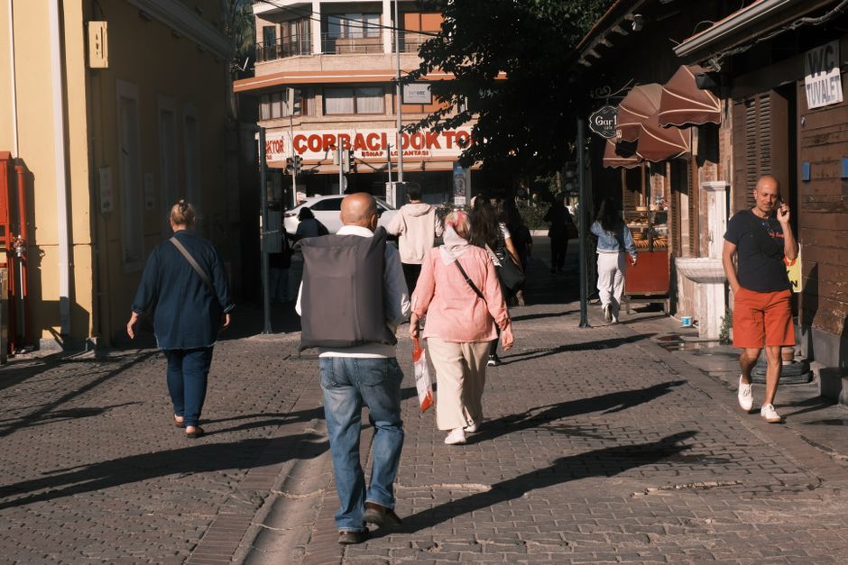
Walking slows the distance between two points enough for patterns to appear. You see the change from a commercial street to a residential block, from a formal civic building to a corner café, or from a renovated waterfront to older housing. Those transitions explain a city better than isolated stops can. They also give you choices. You can stop when a street feels interesting instead of waiting for the next scheduled vehicle.
What the loop reveals
A neighborhood route also creates a better test of a destination. If the area still feels interesting after the main landmark is behind you, it has depth. If the streets become empty, closed, or uncomfortable, you learn that quickly and can leave. The route therefore works as both an experience and a screening tool for the rest of your trip.
There is a practical advantage. A loop reduces decision fatigue. You know where you start, what direction you are moving, and where you can stop. That structure leaves room for small discoveries without forcing every minute into a schedule. The best plan has one main story, two fixed anchors, and enough open space for the street to interrupt you.
That is why neighborhood walks often outperform sightseeing loops for repeat visitors and curious first-time travelers. They trade maximum coverage for stronger memory and a clearer sense of place.
How to build a half-day neighborhood route
Use this five-part structure for a three-hour walk. It works in a historic center, a residential district, a waterfront neighborhood, or a mixed commercial area.
The 90-minute core
- Pick a start with an exit. Begin at a metro station, tram stop, ferry terminal, or major bus stop. Avoid starting in a dead-end residential pocket unless you already know the area.
- Choose one anchor. Select a market, public garden, house museum, library, food hall, or viewpoint. The anchor gives the route a reason to move forward.
- Draw a six-block buffer. Explore the streets around the anchor instead of pinning every shop. Six blocks usually create enough variety without producing a route that looks efficient on a screen but feels tiring in person.
The return leg and the pause
- Plan one deliberate pause. Reserve 30 to 45 minutes for coffee, lunch, a park bench, or an indoor cultural stop. A pause is part of the route, not wasted time.
- Return by a different street type. If the outbound route follows a market street, return through a residential lane, river path, or civic avenue. The contrast makes the neighborhood legible.
- Mark one escape point. Identify a transit stop or taxi-accessible street no more than 15 minutes from your position. Use it if the weather turns, the group tires, or the area becomes quiet after dark.
Check opening hours on the morning of the walk, then save the route for offline use. Estimate 15 minutes per kilometer for a relaxed city pace, not the faster pace shown by a navigation app. Add time for crossings, stairs, photographs, and queues.
Which mapping tools are worth using in 2026

Google Maps is the best default; pay for another tool only when it solves a specific problem. A neighborhood walk rarely needs a subscription. The paid options become useful for offline detail, custom route design, or a route that mixes city streets with park and trail paths.
Free baseline for most city walks
Google Maps is free and strong enough for a basic route. Use it to check walking time, opening hours, transit exits, public toilets, and the location of a return stop. Save the start, anchor, meal stop, and exit point. Download the relevant map area before leaving hotel Wi-Fi. Its weakness is judgment: it may choose the fastest road rather than the most pleasant one, so inspect the route manually.
Paid tools for specific route problems
| Tool | Listed price | Best use | Main limitation |
|---|---|---|---|
| Google Maps | Free | Street directions, transit backup, opening hours | Does not reliably rank streets by atmosphere |
| Citymapper | Free core; Club about £1.49 per month in supported markets | Fast transit escape points and live transport choices | Less useful for judging a slow scenic walk |
| Komoot | Premium about $59.99 per year; prices vary by market | Custom routes with elevation, surface, and offline planning | More detail than a simple city stroll needs |
| AllTrails | Plus $35.99 per year on its listed US plan | Urban parks, greenways, and longer trail sections | Coverage and reviews favor trails over ordinary streets |
Choose Citymapper when a transit failure could ruin the day, Komoot when hills or mixed surfaces matter, and AllTrails only when the walk includes a substantial park or trail. For a normal urban neighborhood, Google Maps plus a saved screenshot is the clear winner.
Mistakes that ruin an otherwise good walk
The biggest mistake is treating the map as the experience. A perfect blue line can still lead through traffic, closed gates, steep stairs, or a district that empties after office hours.
The five failure modes
- Too many pins: Ten stops create a checklist. Limit the route to three anchors and let the spaces between them matter.
- Ignoring terrain: A 4-kilometer route with 120 meters of climbing can feel harder than a flat 6-kilometer route. Check contour lines, stairs, and bridge approaches.
- Trusting opening hours: A listing may show regular hours while a museum, market, or church closes for a holiday or private event. Check the official site on the day.
- Leaving no exit: A walk that ends far from transit becomes stressful after rain, heat, or an injury. Mark the nearest practical departure point before starting.
- Walking after the neighborhood changes: If shops close, sidewalks thin out, or lighting drops, do not continue just to complete the line. Take transit and preserve the useful part of the route.
When not to force a walking plan
Do not choose a long neighborhood walk during extreme heat, severe rain, poor air quality, or a public event that blocks access. A hop-on loop, tram ride, or short guided visit may be the better tool when distance between sights matters more than local texture. The point is not to prove that walking always wins. The point is to spend your limited time in the way that best fits the city and the day.
Questions to settle before you leave the hotel
How long should the route be?
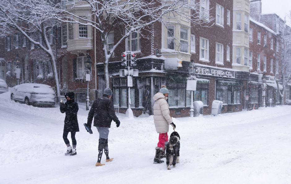
For most travelers, start with 4 to 6 kilometers and three hours including a stop. Families with young children, travelers carrying luggage, and anyone visiting in hot weather should shorten the walking portion to 2.5 to 4 kilometers. A shorter route with a good café and an easy exit beats a longer route abandoned halfway through.
Should the walk begin or end at a famous landmark?
Start at the edge of the area and finish near a place with food or transport. Beginning beside the biggest landmark usually means crowds, inflated prices, and a narrow view of the district. A landmark works better as a midpoint or finishing reward, after the quieter streets have established the neighborhood.
What should you carry?
Take water, comfortable shoes, a small power bank, a light layer, and one offline map. Keep valuables out of open pockets and confirm local pedestrian rules before crossing busy roads or entering shared paths. No state law is discussed here; this is travel-planning guidance, not legal advice. This is not legal advice — consult a licensed attorney.
A neighborhood walking plan succeeds when it gives you enough structure to move with confidence and enough space to notice what the itinerary could not predict.